Ask WienerDog
Home·All Tools·WienerDog Sky·Aircraft Lookup

WienerDog Space · live orbital data

Starlink Tracker

See the Starlink constellation around Earth, find satellites geometrically overhead from your location, search by Starlink name or NORAD catalog number, and calculate upcoming passes.

Live data status

WienerDog is checking orbit…

Loading current Starlink orbital elements from the Ask WienerDog cache.

Satellites loaded—
Orbital data—
Map time—

Constellation map

Where Starlink Is Right Now

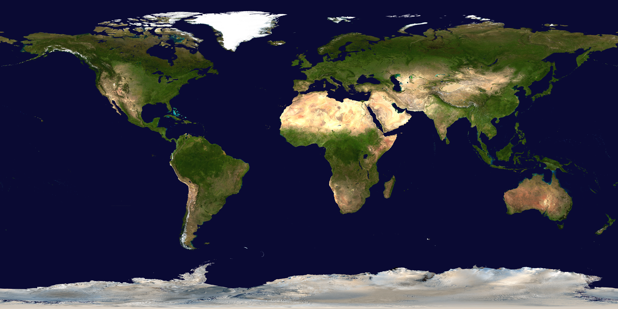
NASA Blue Marble global Earth mosaic
StarlinkSelectedYou

Earth background: NASA/GSFC Scientific Visualization Studio Blue Marble. Satellite positions are propagated from current CelesTrak orbital elements. Click a satellite dot to inspect it.

Find one satellite

Search the Constellation

Search by Starlink name, international designator, or NORAD catalog number.

Selected satellite

—

NORAD catalog—
International ID—
Latitude / longitude—
Altitude—
Inclination—
Orbital period—

Your sky

Starlinks Over Me & Next Passes

Your coordinates stay in your browser; only the public orbital data comes from our server.

Where are you observing from?

Use browser location or enter latitude/longitude manually.

Add your location to begin.

Right now

Starlinks Above Your Minimum Elevation

0

Upcoming

Next Starlink Passes

—
Tracking note: This is an educational/public-observation tracker, not an operational navigation system. Pass calculations use SGP4 propagation of public orbital elements. “Overhead” means geometric elevation above your selected horizon angle; actual naked-eye visibility also depends on sunlight on the satellite, darkness at your location, weather, orientation and local obstructions.

Where WienerDog found it

Data Sources

CelesTrak Current GP DataCurrent Starlink orbital elements → CelesTrak GP DocumentationOMM/JSON data format and query documentation → NASA Blue MarbleEarth map image and credits →
Ask WienerDog · The Educated Monkey LLCWienerDog Space · Public orbital data via CelesTrak · Earth imagery via NASA/GSFC
Privacy Policy